
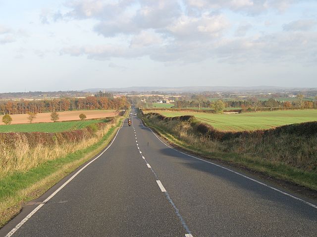

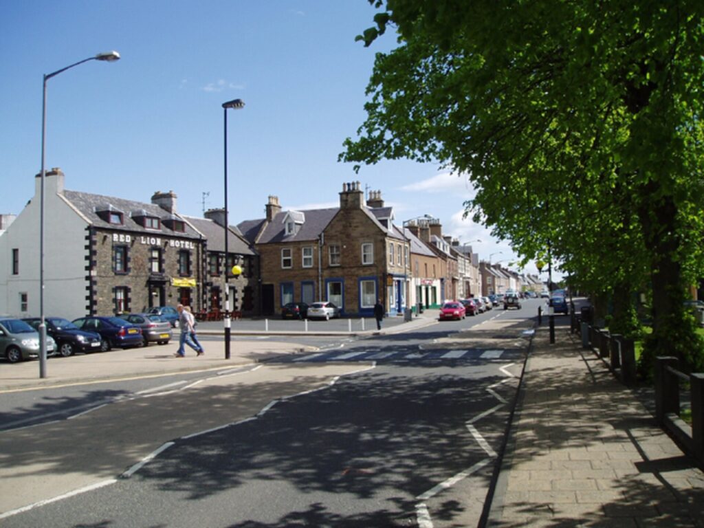
The 2026 Tour of Britain ends in a landscape where stories have always travelled easily between history and legend. The final stage begins in Earlston, home of a medieval figure remembered as Thomas the Rhymer, who existed in historical records but became something much stranger in Border folklore: a poet carried into the supernatural world by the Queen of Elfland and returned with the gift of prophecy. A few kilometres later, the race passes the lonely tower whose stories helped form the imagination of Sir Walter Scott, one of the writers most responsible for transforming Scotland into a landscape read through castles, battles, ballads and ruins.
The road then carries the peloton deeper into the Scottish Borders, a region whose beauty can obscure how violent its history once was. Hume Castle overlooks country repeatedly contested between England and Scotland. Greenlaw and Duns preserve the administrative history of Berwickshire, while the former Charterhall airfield introduces a completely different kind of Border legend in Jim Clark, the farmer who learned to race on local roads and became one of the greatest Formula One drivers in history. Beyond Duns, the race enters the Lammermuir Hills, where ancient ocean-floor rocks were folded into the Southern Uplands, prehistoric communities raised monuments overlooking the Whiteadder valley and a modern reservoir submerged farms beneath its water.
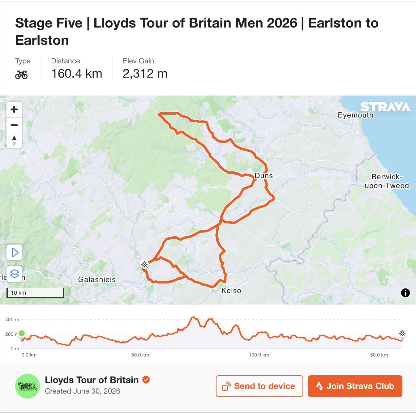
With 156.1 kilometres and approximately 2,236 metres of climbing, the final stage is short enough to encourage aggressive racing and difficult enough to threaten a general classification that remains close. Redstone Rig and Duddy Bank provide the principal late obstacles before the peloton returns to Earlston for two 19-kilometre circuits through Smailholm, allowing the same tower and fields encountered near the beginning of the stage to reappear during the final battle for the race.
That circular structure is particularly appropriate here. Border history rarely moves neatly from one period to another. Medieval fortresses became picturesque ruins, cattle-raiding families became material for Romantic literature, an abandoned wartime airfield became part of the origin story of a Formula One champion, and stories first preserved orally in farmhouses eventually travelled around the world through books. Stage 5 repeatedly returns to places whose identities have been rewritten without entirely erasing what came before.
START · Earlston and Thomas the Rhymer
The Tour of Britain begins its final day in Earlston, a small Border town whose historical identity is inseparable from one of the strangest figures in medieval Scottish tradition.
Thomas of Ercildoune, better known as Thomas the Rhymer or True Thomas, was a real 13th-century landowner associated with the settlement then known as Ercildoune. Documentary evidence anchors him within medieval society, but the Thomas remembered for the next seven centuries gradually escaped those boundaries and entered folklore.
In the great Border tradition that developed around him, Thomas encounters a mysterious woman beneath a tree near the Eildon Hills. She is the Queen of Elfland, and Thomas follows her into the supernatural world. Time behaves differently there, as it so often does in European fairy traditions, and when he eventually returns to the human world he possesses an extraordinary gift: he cannot tell a lie and can foresee events that have not yet occurred.
Prophecies accumulated around his name for centuries. Political upheavals, royal deaths and the fortunes of Border families were retrospectively associated with Thomas, while oral traditions preserved and reshaped his reputation long after the historical man had disappeared. The distinction between authentic medieval material and later attribution became increasingly difficult to maintain, which is itself part of the fascination. Thomas survived not because medieval chroniclers produced a comprehensive biography of him, but because generations repeatedly found new reasons to tell stories about him.
At the southern edge of Earlston survive the remains traditionally known as Rhymer’s Tower, associated with Thomas and his family. The physical ruins are modest, but the imaginative territory attached to them is enormous. The same tradition eventually entered literature through writers including Sir Walter Scott, who collected Border ballads and helped carry Thomas’s story far beyond the region in which it originated.
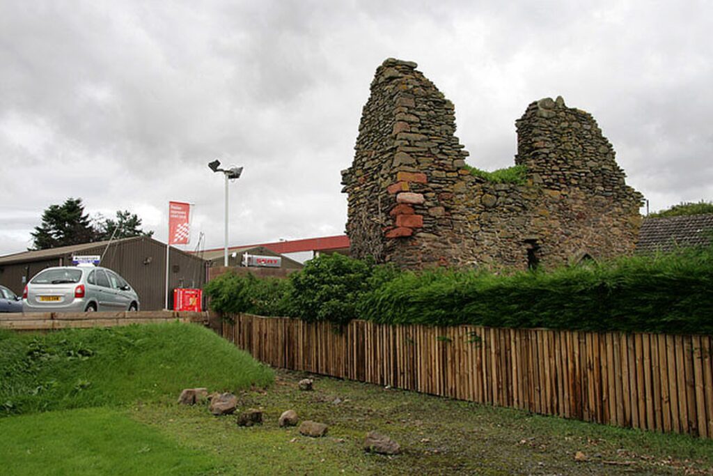
Earlston therefore provides an unusually appropriate place to begin a journey through the Borders. Before the riders have encountered castles, battlefields or mountains, they meet a landscape in which history itself has become inseparable from storytelling.
-148 km · Smailholm Tower and the Childhood Imagination of Walter Scott
Soon after leaving Earlston, the race heads towards Smailholm, where a stone tower rises from a rocky outcrop above the surrounding farmland.
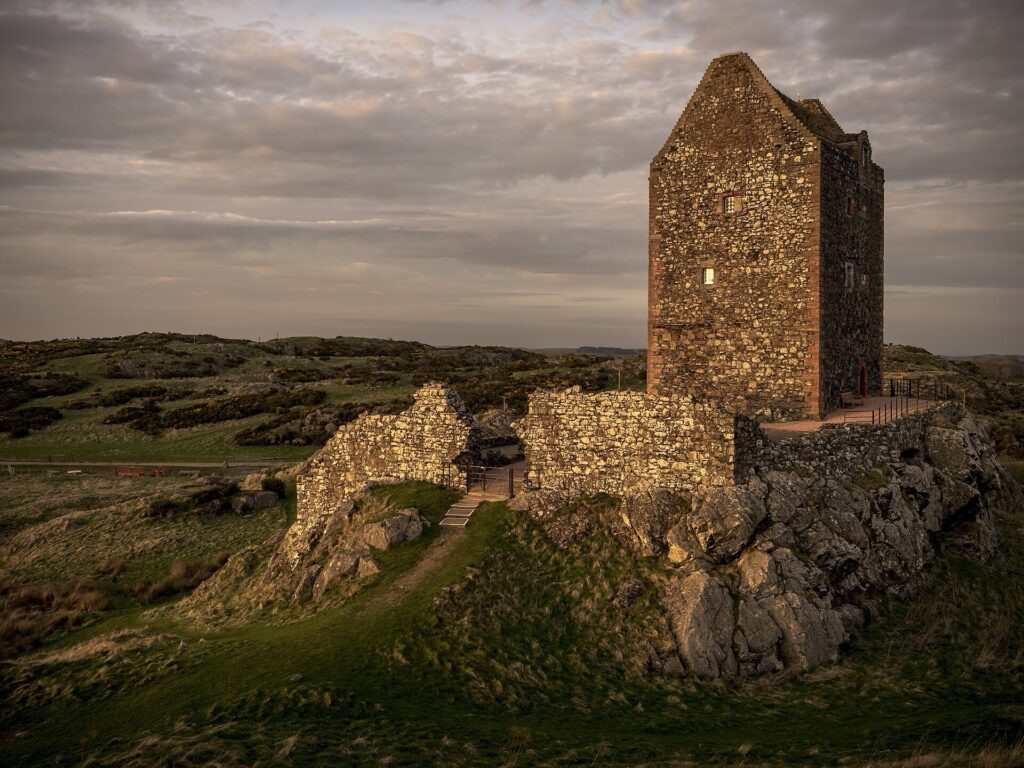
Smailholm Tower was built by the Pringle family during the first half of the 15th century. Its form immediately reveals the conditions under which prosperous Border families lived. The walls are extraordinarily thick, the entrance could be defended and the building occupies ground offering wide views across the surrounding country. On a clear day, the view from the tower extends all the way towards Bamburgh Castle in Northumberland.
Such defences were not architectural theatre. The Anglo-Scottish borderlands endured generations of warfare, raiding and political instability, while families on both sides participated in the culture of Border reiving, in which livestock theft, retaliation, feuding and shifting loyalties could make rural life exceptionally insecure. Historic records show the Pringles themselves suffering heavily: during two raids in 1544, Northumbrian reivers carried away more than seven hundred cattle and one hundred horses from their lands.
By the 17th century the tower had passed to the Scotts of Harden and was leased to an ancestor of Sir Walter Scott. This family connection transformed Smailholm’s later significance.
Scott was born in Edinburgh in 1771 but contracted polio as a young child, leaving him with a lasting disability. At around eighteen months old he was sent to his grandparents’ home at nearby Sandyknowe in the hope that the country environment would improve his health. There, beneath the tower and surrounded by the Border landscape, his grandmother and aunt told him traditional stories, ballads and accounts of the violent families who had inhabited the region. Those childhood experiences remained with him.
Scott became fascinated by the oral traditions of the Borders and eventually collected them in Minstrelsy of the Scottish Border, first published at the beginning of the 19th century. He later became one of Europe’s most influential novelists, and his historical fiction helped create an international image of Scotland populated by clans, ruined castles, feuds, battles and dramatic landscapes.
Smailholm therefore matters not merely because Walter Scott lived nearby. The landscape surrounding the tower helped teach him how history could become literature.
That literature, in turn, changed how later generations looked at landscapes like this one.
-140 km · The Border Reivers and a Countryside Built for Defence
The tower at Smailholm introduces a wider story that will follow the peloton throughout much of the day.
For centuries, the territory surrounding the Anglo-Scottish frontier was divided into administrative districts known as Marches, each overseen by wardens responsible for maintaining order. In practice, central authority could be weak, while powerful local families maintained their own networks of alliances, rivalries and retaliation.
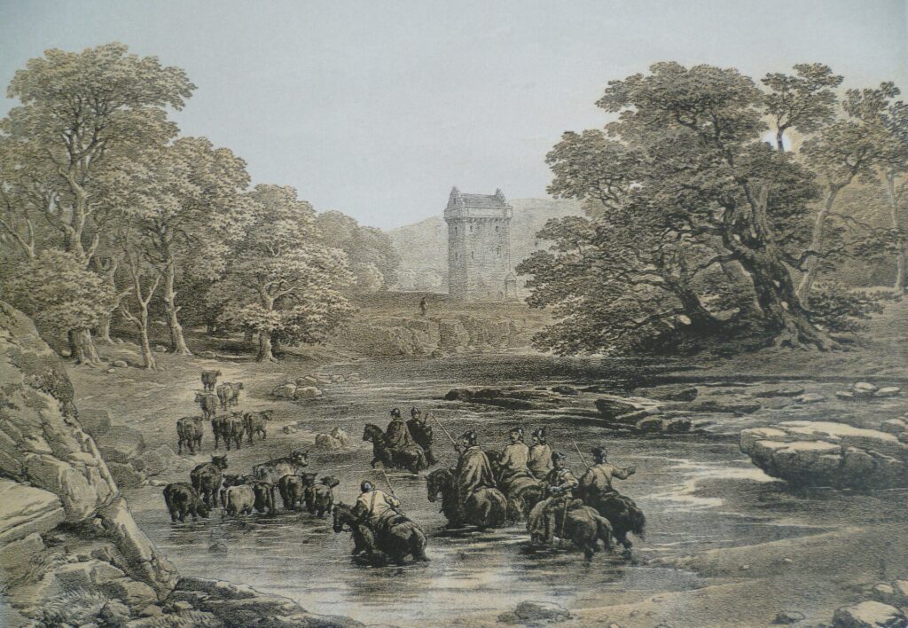
The people later remembered as Border reivers operated within this environment. Families including the Armstrongs, Elliots, Scotts, Kerrs, Grahams and others conducted raids across and sometimes along the border, stealing cattle and horses, burning property and taking prisoners for ransom. National identity did not always determine loyalty. A Scottish family might cooperate with English neighbours against another Scottish family, while feuds could matter more than allegiance to either crown.
The architecture of the region adapted accordingly. Tower houses and fortified farmhouses known as bastles allowed families to defend themselves, while livestock could sometimes be brought into protected lower floors during raids. Beacons on high ground warned of approaching forces, and local knowledge of valleys, rivers and tracks became essential to survival.
This helps explain why the Scottish Borders contain so many towers and castles despite the relatively modest scale of many settlements. Fortification was not confined to kings and great nobles. Security became part of domestic architecture.
The Union of the Crowns in 1603, when James VI of Scotland inherited the English throne as James I, fundamentally changed the political situation. A monarch ruling both kingdoms had little tolerance for a frontier culture based upon raiding and private violence. Authorities increasingly suppressed the reivers, executed or displaced troublesome families and attempted to turn the old Marches into a more governable region.
The violence gradually receded, but its memory remained unusually strong. Ballads preserved raids and feuds long after the practical world that produced them disappeared, and Walter Scott later transformed those stories into literature.
By the time professional cycling arrived, the fortified countryside had become scenery. Understanding why those towers exist restores some of the danger that picturesque views have hidden.
-128 km · Hume Castle, Watching the Road to England
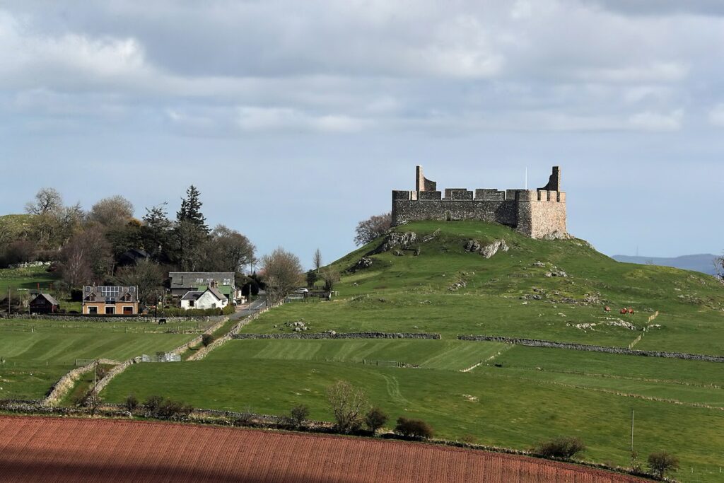
Near the village of Hume, a fortress rises on an enormous rocky outcrop with views stretching towards the English border. The position explains almost everything.
Hume Castle was the ancestral seat of the powerful Home family and occupied one of the strategically important locations of the eastern Borders. Its elevated position made it useful not only as a fortress but also as a beacon station, capable of warning surrounding communities when forces approached from England.
The castle became repeatedly involved in Anglo-Scottish conflict. Its proximity to the frontier meant that national wars were not distant political events here. Armies could move directly through the surrounding landscape, castles changed hands and local families were forced to navigate the dangerous intersection between regional power and royal politics.
The Home family was deeply involved in one of Scotland’s greatest military disasters, the Battle of Flodden in 1513. Alexander, 3rd Lord Home, led part of the Scottish army during James IV’s invasion of England. His troops initially fought successfully against the English right, but the battle ended catastrophically for Scotland. James IV was killed along with a large portion of the kingdom’s political and aristocratic elite.
Hume Castle subsequently became entangled in the unstable aftermath. Lord Home was eventually accused of treason and executed in 1516, illustrating how quickly Border power could become dangerous when royal authority weakened.
The fortress continued changing hands during later conflicts. English forces captured it in 1547, the Scots retook it the following year, and Oliver Cromwell’s army captured it again in 1651. By then improvements in artillery and the political transformation of the Borders were making such fortresses increasingly obsolete.
What visitors see today is partly deceptive. During the late 18th century the ruins were deliberately remodelled with enormous battlements to create a dramatic landscape feature visible from surrounding estates. A medieval defensive site became an architectural object designed to look romantic.
Hume Castle consequently embodies a transformation that appears repeatedly on Stage 5. A structure originally built because the Border was dangerous survived into an age that found the memory of that danger beautiful.
-115 km · Greenlaw and the Strange Problem of Being a County Town Without the County’s Main Town
The race next reaches Greenlaw, a small settlement whose broad central space and civic buildings preserve an unexpectedly complicated chapter in the administrative history of Berwickshire.
The original settlement stood on higher ground to the south, around the green hill from which Greenlaw takes its name. During the later 16th century, a new town developed in the valley at the present site, and by 1600 it had acquired the status of a burgh of barony.
Greenlaw subsequently became county town of Berwickshire, but that apparently straightforward title concealed a long rivalry with nearby Duns. Administrative functions moved between the two settlements, while courts, county institutions and political influence became subjects of repeated dispute.
The surviving former courthouse and civic buildings make more sense within this context. Their scale reflects ambitions considerably greater than Greenlaw’s modern population might suggest. Architecture was being used to express administrative authority, just as castles elsewhere in the Borders had once expressed military power.
By the 19th century, however, Duns was increasingly performing functions associated with county government. The rivalry was eventually resolved formally in the early 20th century when Greenlaw lost its remaining county-town status.
For a cycling race, Greenlaw is simply another settlement through which the peloton passes before reaching the hills. Historically, it demonstrates something more subtle: political geography does not always follow population or economic importance. Governments can assign significance to places, remove it again and leave buildings behind as evidence of administrative decisions that no longer matter to everyday life.
Stage 5 will pass Greenlaw twice. The first time, the race is moving towards another place whose importance also disappeared when its original function ended.
-105 km · Charterhall, an Airfield That Became a Racing Circuit
Near Charterhall, a remarkably different form of Border history enters the route.
During the Second World War, RAF Charterhall operated as an airfield used principally for training. Like many wartime aerodromes across Britain, its runways were products of an enormous emergency construction programme that transformed rural landscapes into parts of the military infrastructure required to fight an industrial war.
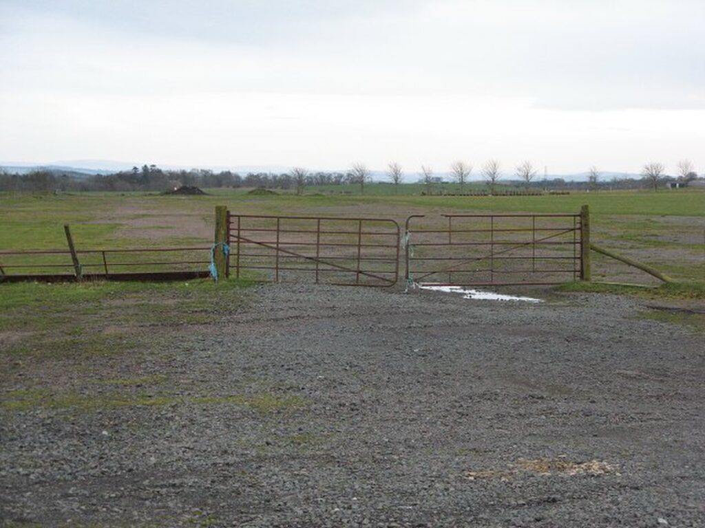
After the war, many of those airfields became redundant. Some returned to agriculture, others became industrial sites, and several acquired an unexpected second life as motor-racing circuits. Their broad concrete runways and perimeter roads provided ready-made surfaces on which cars could race without the enormous expense of constructing purpose-built tracks. Charterhall became one of them.
During the 1950s, a young farmer from the Scottish Borders began competing there. His name was Jim Clark.
Clark’s path into motorsport was not the conventional development of a professional racing driver. He grew up within a farming family and was expected to work in agriculture. Motorsport began almost as an illicit passion, pursued despite his family’s concern about its expense and danger.
In October 1957, Clark drove a Porsche 1600 S belonging to Ian Scott-Watson at Charterhall. He competed in three events, finishing third, second and then winning the BMRC Trophy. The victory was an early demonstration of an ability that would soon become impossible to overlook.
Only a few years later, Clark was racing in Formula One.
The abandoned military airfield had provided one of the places where a farmer learned that he could compete with racing drivers.
-98 km · Duns and Jim Clark, the Farmer Who Became the Fastest Man in Motorsport
The race reaches Duns, a town whose connection with Jim Clark is considerably deeper than a museum or memorial.
Clark’s family moved to Edington Mains Farm near Duns when he was young, and farming remained fundamental to his identity even after he became internationally famous. He learned machinery through agricultural life, drove tractors as a boy and continued regarding the Borders as home while his racing career carried him across Europe and eventually around the world.
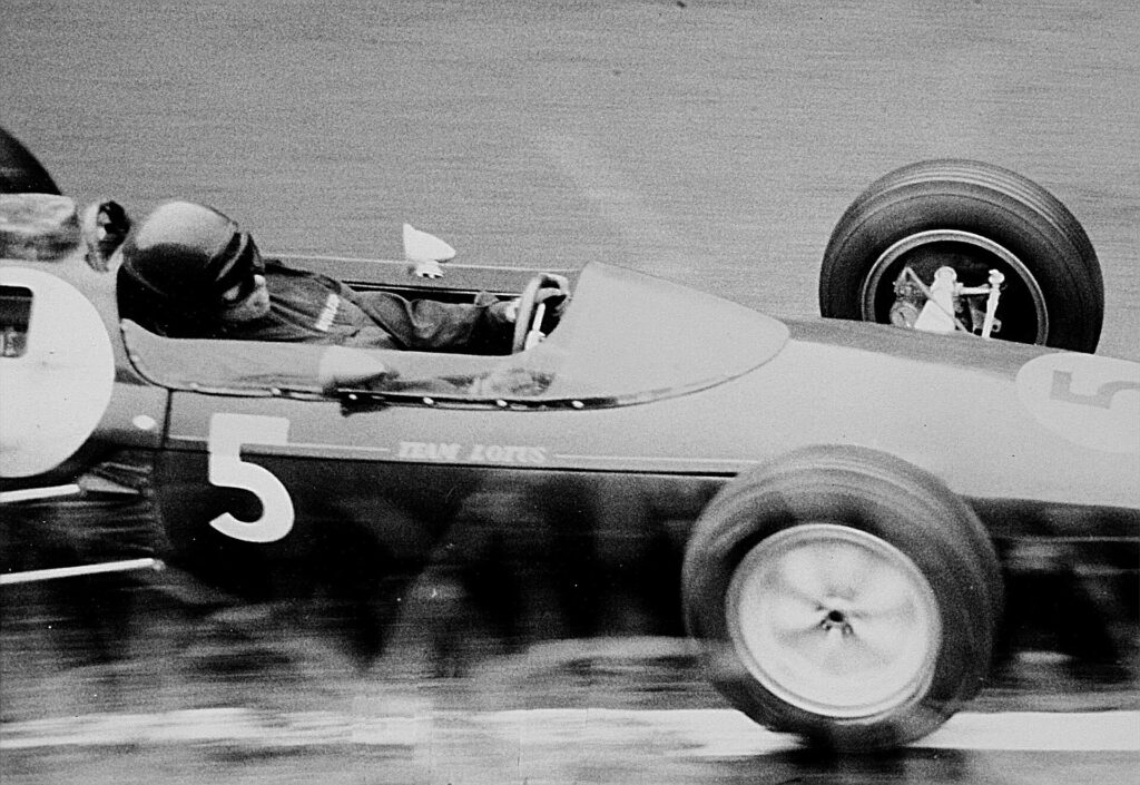
His rise was extraordinarily rapid. Clark joined Formula One with Lotus, beginning one of the great partnerships between driver and team in motorsport history. He became Formula One World Champion in 1963 and 1965, winning races with a smoothness and apparent lack of effort that became central to his reputation.
The statistics only partly describe his versatility. Clark won twenty-five Formula One Grands Prix from seventy-two starts and took thirty-three pole positions, but he also competed successfully in sports cars, touring cars, Formula Two, rallying and other categories. In 1965, the same year he won his second Formula One world championship, he won the Indianapolis 500, becoming the first driver in decades to win the race with a rear-engined car and helping accelerate one of the great technological transitions in American motor racing.
His career ended with shocking suddenness. On 7 April 1968, Clark was killed during a Formula Two race at Hockenheim in West Germany. He was thirty-two years old. The death of a driver considered exceptionally skilled and cautious reinforced the brutal reality of an era in which elite motorsport routinely killed its competitors.
Clark was buried near Chirnside, while Duns became the principal centre for preserving his memory. The modern Jim Clark Motorsport Museum contains trophies and material associated with his career, many originally donated by his parents.
There is something particularly appropriate about encountering Clark during a cycling race. Motorsport and professional cycling appear technologically distant, but both transform roads and landscapes into tests of judgement, speed and physical control. More importantly, Clark’s story belongs to this place. He was not simply a famous racing driver commemorated in Duns after his death. He was a Border farmer who happened to become one of the greatest drivers the sport has produced.
The Tour of Britain passes through the landscape to which he repeatedly returned.
-90 km · Duns and the Medieval Thinker Who Gave English the Word “Dunce”
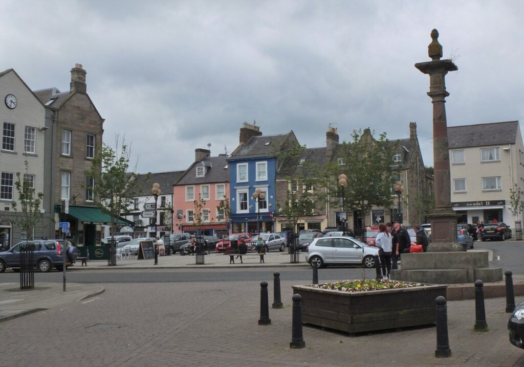
Jim Clark is not the only internationally significant figure associated with Duns.
Centuries earlier, the town gave its name to John Duns Scotus, one of the most important philosophers and theologians of the medieval European university tradition.
Scotus was born in the region around the middle of the 13th century and entered the Franciscan order. His intellectual career took him far from the Borders to the great centres of medieval scholarship, including Oxford, Paris and Cologne, where he engaged with some of the most difficult philosophical and theological questions of his period.
His reputation rested partly on the subtlety of his reasoning. Later generations called him the Doctor Subtilis, the Subtle Doctor, recognising an intellectual style capable of making extraordinarily precise distinctions. History then performed a peculiar reversal.
Followers of Scotus became known as Dunsmen or Scotists. During the Renaissance and Reformation, humanist scholars increasingly mocked medieval scholasticism as outdated and excessively complicated. The name associated with the celebrated medieval philosopher gradually became an insult for someone regarded as incapable of learning.
From that process came the English word “dunce.” The linguistic transformation is almost cruel. A man’s name became associated with stupidity precisely because his followers were identified with a tradition famous for intellectual complexity.
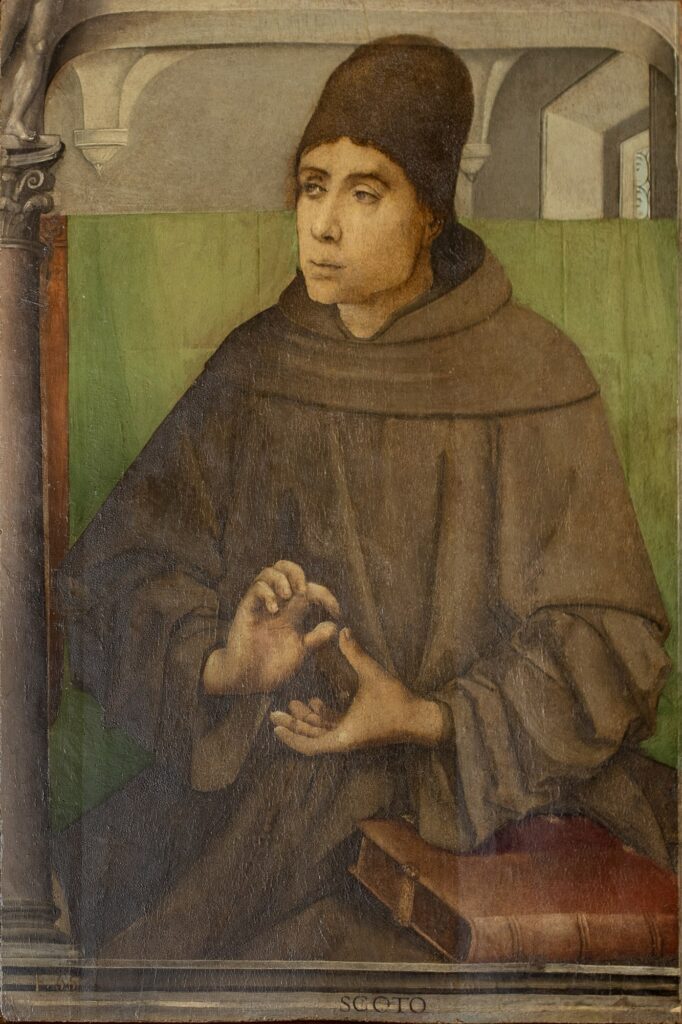
Whether every detail of Scotus’s birthplace can be reconstructed with certainty matters less than the extraordinary journey of the name. Duns contributed one figure whose skill behind the wheel became internationally admired and another whose intellectual subtlety became so notorious that his name eventually entered everyday English in almost the opposite sense.
The peloton passes through a small Border town with an unusually large footprint in cultural history.
-75 km · The Lammermuir Hills and the Remains of an Ancient Ocean
Beyond Duns and Longformacus, the stage enters the Lammermuir Hills, and the landscape becomes noticeably more exposed.
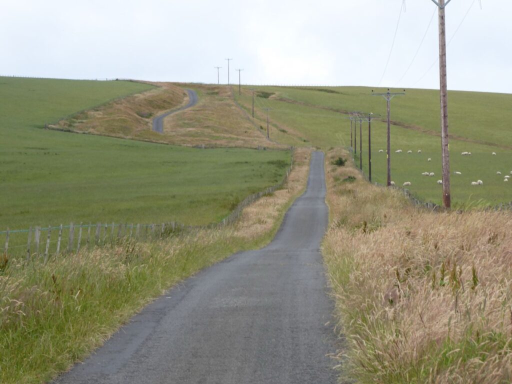
The geology beneath the riders is enormously older than the human histories encountered earlier. Much of the Southern Uplands consists of rocks formed during the Ordovician and Silurian periods, hundreds of millions of years ago, when sediments accumulated in and around an ancient ocean.
As tectonic plates converged and that ocean gradually closed, layers of sediment were compressed, folded, faulted and attached to the edge of the continental landmass. The resulting rocks, including extensive greywackes, were later uplifted and exposed by erosion.
The landscape visible today is therefore the distant consequence of plate movements operating on a planetary scale.
Ice subsequently reshaped the hills. During the last glacial period, ice sheets moved across southern Scotland, eroding valleys and leaving deposits that later influenced soils, drainage and vegetation. The rounded appearance of many Lammermuir slopes owes much to these processes.
Human land use added another layer. Sheep grazing became characteristic of the uplands, while tracks and roads crossed passes between communities on either side of the hills. Moorland management altered vegetation, and reservoirs later reorganised entire drainage systems.
For the riders, the Lammermuirs create exposed climbing and the possibility of wind becoming tactically important. For a geologist, the same roads cross fragments of an ocean that disappeared hundreds of millions of years before Scotland existed.
-62 km · Whiteadder Reservoir and the Valley Beneath the Water
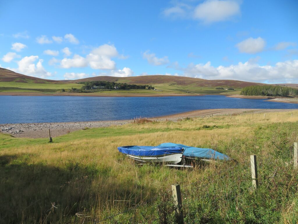
The road reaches Whiteadder Reservoir, a body of water that appears natural enough to belong permanently among the surrounding hills.
It does not. Construction of the dam began during the 1960s, and the valley was flooded in 1968 to create additional water supplies for communities in south-east Scotland. The new reservoir transformed the Whiteadder valley, submerging parts of a landscape that had been occupied and worked for generations.
Among the places lost beneath the water were Millknowe Farm, Kingside School and other structures associated with the older valley. Their disappearance recalls Lac de Guerlédan from the Bretagne Classic route, although the scale and historical context are different. In both cases, a modern body of water conceals a previous human landscape rather than simply occupying an empty natural depression.
The archaeological story around Whiteadder reaches much farther back.
Modern LiDAR survey and excavation have revealed an unusually rich prehistoric landscape surrounding the reservoir. Cairns, settlements, field systems and fortified sites demonstrate that people were living, farming and marking this country thousands of years before the dam existed. Excavation of one cairn identified on a promontory beside the modern reservoir recovered prehistoric material including a small fragment of Beaker pottery, offering evidence of activity during the Early Bronze Age.
The position of such monuments mattered before the valley was flooded. A cairn now seen in relation to the reservoir originally overlooked an open valley, while other prehistoric monuments occupied surrounding heights. Modern water has therefore changed not only the physical environment but also how ancient sites are visually understood.
This is a recurring problem in archaeology. We encounter prehistoric monuments inside modern landscapes and instinctively interpret their position through what surrounds them today. At Whiteadder, the reservoir provides an unusually clear warning that the view available to us is not the view available to the people who built them.
-55 km · Redstone Rig and the High Border Country
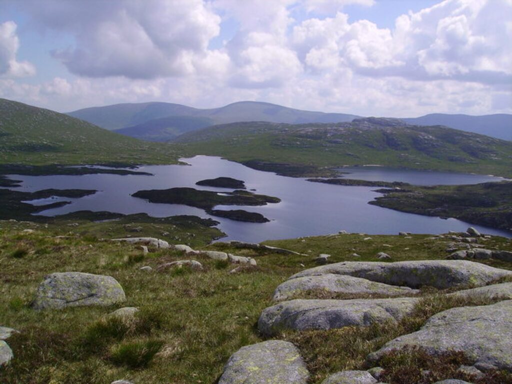
The climb towards Redstone Rig carries the peloton deeper into the Lammermuirs, where settlements become scarce and the scale of the open country begins to dominate.
This upland environment has always imposed limitations. Thin soils, exposure and severe weather restrict agriculture compared with the fertile lower country of the Merse, encouraging pastoral farming and extensive sheep grazing rather than intensive cultivation.
Yet describing the hills as empty would be misleading.
Tracks crossed them long before surfaced roads existed. Shepherds moved animals through them, religious estates controlled land here, peat and stone were exploited, and generations learned to navigate a landscape in which mist or winter weather could make relatively modest elevations dangerous.
The modern road changes the experience without changing the underlying geography. Cyclists can cross the Lammermuirs in minutes where earlier travellers measured journeys in hours, but gradients still follow the same terrain and exposure remains capable of turning weather into a physical obstacle.
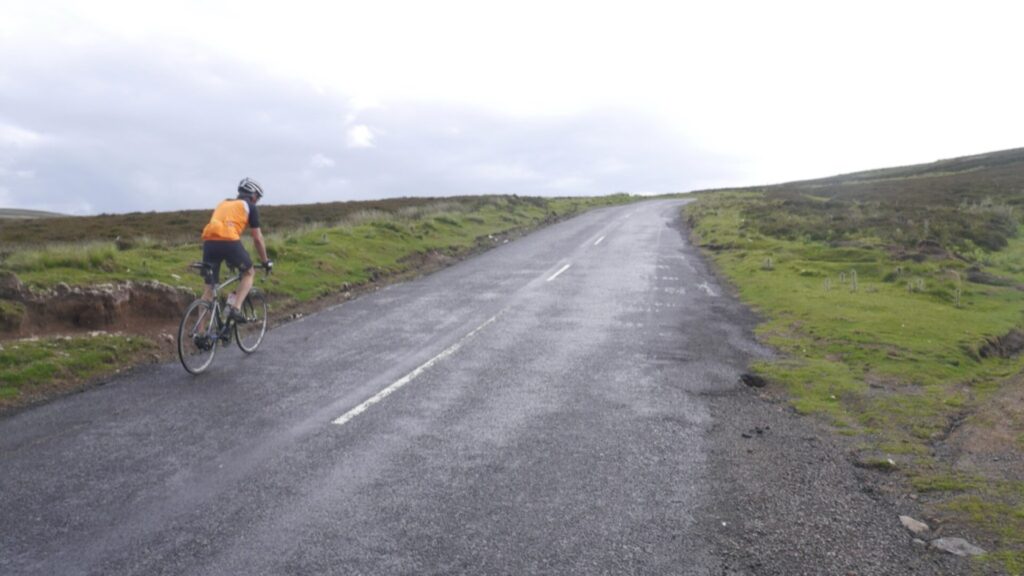
For the final stage of a bicycle race, that openness creates tactical uncertainty. A climb does not need Alpine altitude if riders reach it tired and exposed to wind after five days of racing.
Redstone Rig is important precisely because the hills are modest enough to be underestimated.
-45 km · Duddy Bank and the Road Back Towards the Merse
The stage’s other significant upland obstacle comes at Duddy Bank, after which the race begins working its way back towards the lower country around Greenlaw.
The transition is visually striking. The bleak grass and heather of the Lammermuirs gradually give way to the more intensively cultivated landscape of the Merse, the broad fertile region occupying much of eastern Berwickshire.
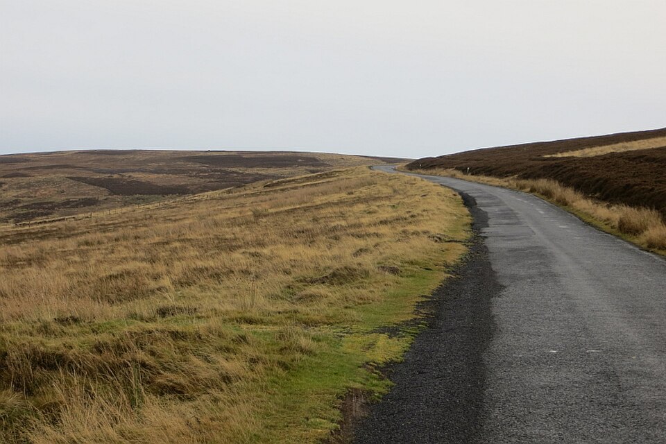
The difference is partly geological and partly agricultural. Softer rocks, glacial deposits and lower elevations created land more suitable for arable farming, while generations of agricultural improvement transformed the region into productive fields.
This contrast between hill country and lowland helps explain settlement patterns throughout the stage. Duns and Greenlaw developed in productive agricultural territory, while the Lammermuirs remained comparatively thinly populated. Roads connected the two worlds, allowing livestock, crops, people and information to move between upland and lowland communities.
The peloton experiences that geography in compressed form. A hard climb through open moorland is followed by faster roads across fields where the horizon expands and settlements become more frequent.
By the time the race reaches Greenlaw again, the hardest terrain of the first circuit is behind it. The final kilometres, however, return the riders to the cultural landscape with which the stage began.
-35 km · Gordon and the Borders After the Reivers
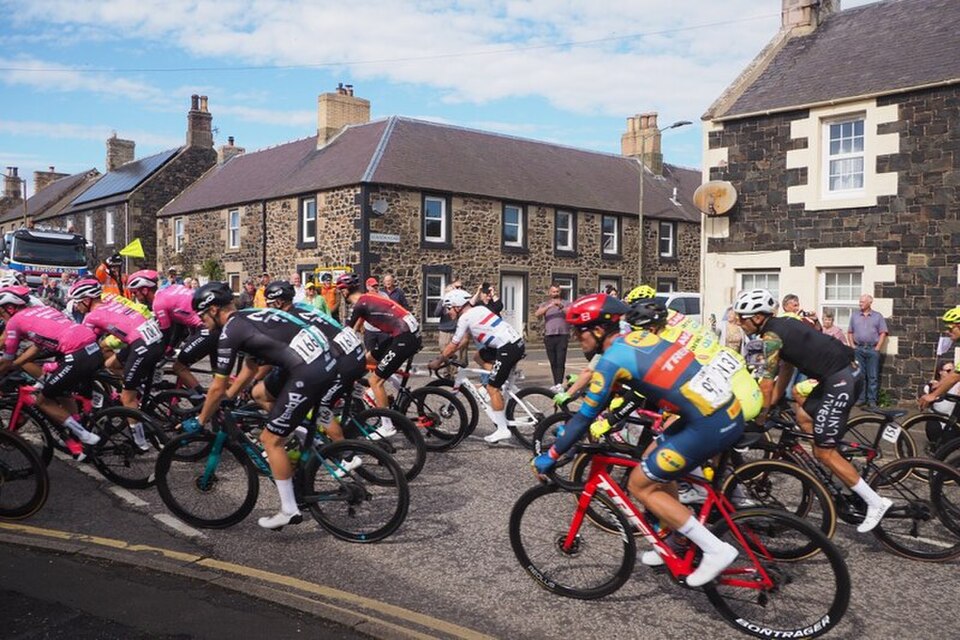
The route passes Gordon on its way back towards Earlston, crossing country that became dramatically more stable after the violent centuries of Border warfare and reiving.
Once the crowns of England and Scotland were united under James VI and I in 1603, the old frontier lost much of its political purpose. The monarch now ruled both sides, and the disorder tolerated or exploited during centuries of Anglo-Scottish rivalry became a problem for a government attempting to impose central authority.
The suppression of reiving changed the countryside gradually rather than instantaneously. Fortified houses lost their necessity, agricultural investment became safer and the region’s economy could develop under conditions in which a raid from a neighbouring family was no longer an accepted risk of rural life.
Over the following centuries, estates reorganised land, roads improved and agricultural innovation altered the appearance of the Merse. The Borders increasingly became known not as a dangerous frontier but as a landscape of farms, country houses and historical ruins.
That transformation is easy to underestimate because the earlier violence survives so vividly in literature. Walter Scott and the Border ballads preserved the dramatic world of raiders, feuds and fortified towers long after everyday life had moved beyond it.
The race now heads back towards Earlston through the peaceful version of a landscape whose dangerous predecessor became famous precisely because people kept telling stories about it.
-28 km · Earlston Returns, and the Race Begins Again
When the peloton returns to Earlston, the stage is not finished. Two 19-kilometre circuits remain, each taking the riders back through the country around Smailholm before returning to the finish. The structure gives spectators in Earlston several opportunities to see the race, but it also creates an unusual narrative effect for anyone following the landscape.
Places encountered in the morning return with different meanings. Smailholm was initially a medieval tower associated with reivers and the childhood of Walter Scott. During the final circuits it becomes a racing landmark, a point from which teams can calculate remaining distance and organise the pursuit of attacks. Roads that earlier introduced Border history now become familiar tactical territory.
This is one of the peculiar qualities of circuit racing. Repetition does not produce the same experience twice because the condition of the race changes. A climb ridden comfortably on the first passage can become decisive later; a wide road ignored earlier becomes the place where teams fight for position; and a landmark noticed as scenery becomes a signal that the finish is approaching.
In the Borders, that transformation feels especially appropriate. The entire stage has been about landscapes acquiring new meanings without completely losing the old ones.
FINAL CIRCUITS · Smailholm Tower, Walter Scott and the Invention of Romantic Scotland
When Smailholm Tower appears again during the finishing circuits, its relationship with Walter Scott deserves one final look because the writer’s influence extended far beyond literature.
Scott’s novels became international publishing phenomena. Works such as Waverley, Rob Roy and Ivanhoe reached enormous audiences and helped popularise historical fiction as a genre. His Scotland was shaped by conflict between past and present, populated by ruined castles, old loyalties and landscapes carrying the memory of violence.
That vision influenced tourism. Readers travelled to places associated with Scott and with the histories he had transformed into fiction. Ruined abbeys and castles acquired new cultural value, while landscapes previously judged remote or economically marginal could be appreciated for precisely those qualities.
Scott did not invent Scottish scenery, nor did he single-handedly create Romanticism, but he became extraordinarily influential in teaching outsiders how to interpret Scotland. A tower on a rocky outcrop could be more than an obsolete defensive building; it could become a physical connection with an imagined medieval past.

The process can still shape how the Tour of Britain is watched today. Television cameras linger on castles, hills and stone villages partly because modern audiences have inherited centuries of cultural training that tells us these things are picturesque.
Smailholm therefore operates on two levels. It is genuinely a surviving 15th-century Border tower shaped by the insecurity of its time, but it is also part of the cultural machinery through which later generations learned to romanticise that insecurity. Walter Scott experienced both worlds through stories told beneath it.
FINAL CIRCUITS · Thomas the Rhymer and the Border Between History and Folklore
As the riders approach Earlston for the last time, the story returns naturally to Thomas the Rhymer.
The historical Thomas belonged to the 13th-century Borders. The legendary Thomas belonged everywhere else: beneath the Eildon Tree, in Elfland, inside prophecies and eventually in ballads transmitted across generations.

The survival of his story illustrates something fundamental about the cultural landscape crossed by Stage 5. Written records are only one way in which communities preserve the past. Songs, legends, place-names and repeated stories can attach memories to hills, trees, stones and ruins even when the historical events behind them become impossible to reconstruct.
Walter Scott understood the value of that oral world. His collection of Border ballads helped preserve traditions that might otherwise have disappeared or changed beyond recognition, although the act of writing them down inevitably transformed them as well. A song performed differently from one family or valley to another became fixed on a printed page and could suddenly travel far beyond the community that had preserved it.
Thomas the Rhymer therefore connects the beginning and end of the stage not merely because Earlston claims him. His story embodies the way Border culture survived: history became memory, memory became folklore, folklore became literature, and literature eventually changed how people saw the physical landscape from which the stories had emerged. The Tour of Britain completes its own circle through the same country.
FINISH · Earlston and the End of the Road
The 2026 Tour of Britain finishes on Earlston High Street, 156.1 kilometres after leaving the same town and five stages after the race began between castle and cathedral in Lincoln.
The journey between those two places has crossed an extraordinary concentration of British landscapes. Lincolnshire introduced Roman cities, medieval churches, aviation history and agricultural country before the race reached the unstable edge of the North Sea. East Yorkshire revealed a coastline disappearing into the water, Iron Age chariot burials beneath ordinary fields and a medieval town created around the memory of a saint. North Yorkshire brought the peloton into landscapes shaped by glaciers, limestone, monasteries and lead mining before the road finally turned north towards Scotland.

The Borders provide an appropriate conclusion because so many of those themes return here in different forms.
At Hume, medieval architecture survives because generations needed to defend a frontier. At Greenlaw and Duns, small towns preserve political and administrative histories larger than their modern size suggests. Charterhall demonstrates how infrastructure created for war could acquire an entirely different purpose, while Jim Clark’s story connects the agricultural Borders with the highest level of international motorsport. Whiteadder Reservoir places a modern water landscape over farms and archaeological sites that belonged to earlier versions of the valley, and the Lammermuir Hills carry geological evidence of an ocean hundreds of millions of years older than any human boundary.
Yet the most characteristic discoveries of the final stage may be Thomas the Rhymer and Walter Scott. One stands on the uncertain boundary between historical person and legendary prophet; the other took the stories of the Borders and helped transform them into literature read around the world. Together they remind us that landscapes are made not only from rock, water, buildings and roads, but also from the stories people decide to attach to them.
Professional cycling does something similar. A road acquires sporting meaning because a race passes over it. A climb becomes memorable because someone attacks there. A village becomes part of cycling history because the peloton repeatedly returns. Over time, sport adds another layer of memory to places already carrying many others.
When the winner crosses the line in Earlston, one rider will have won Stage 5 and another may have secured the 2026 Tour of Britain. Those results will become part of cycling’s record of the race, but Around the Peloton has followed a different classification across these five days: the places that explain why the road exists, what happened beside it and what remains when the peloton has gone.
From Lincoln Castle to the Lammermuir Hills, the race has given us the route. Everything around it has given us the story.



