
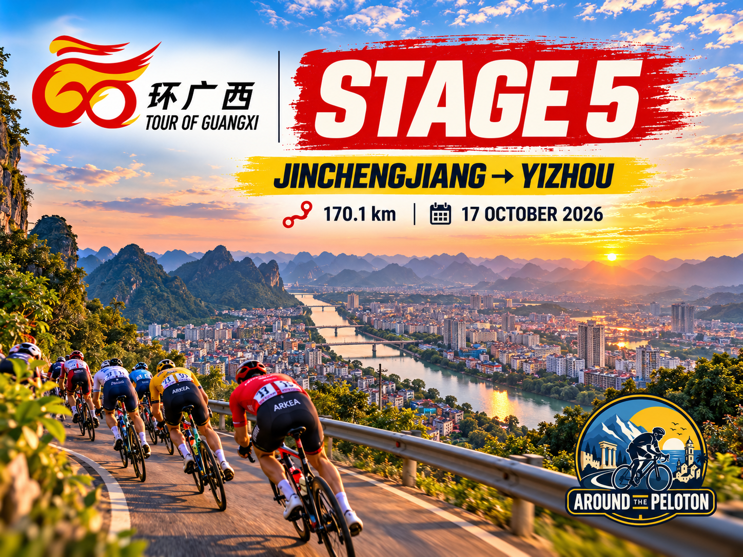

For four days the Tour of Guangxi has travelled progressively deeper into western Guangxi, following waterways through karst basins, crossing the Youjiang valley, tracing underground rivers around Fengshan and finally reaching the immense engineered waters of the Hongshui around Tian’e. Stage 5 begins farther east in Jinchengjiang and continues through the same vast drainage world, but the perspective changes. Over 170.1 kilometres to Yizhou, water becomes less a geological subject than a route through the mountains, creating valleys in which settlements developed and corridors through which people, goods, languages and stories could move.
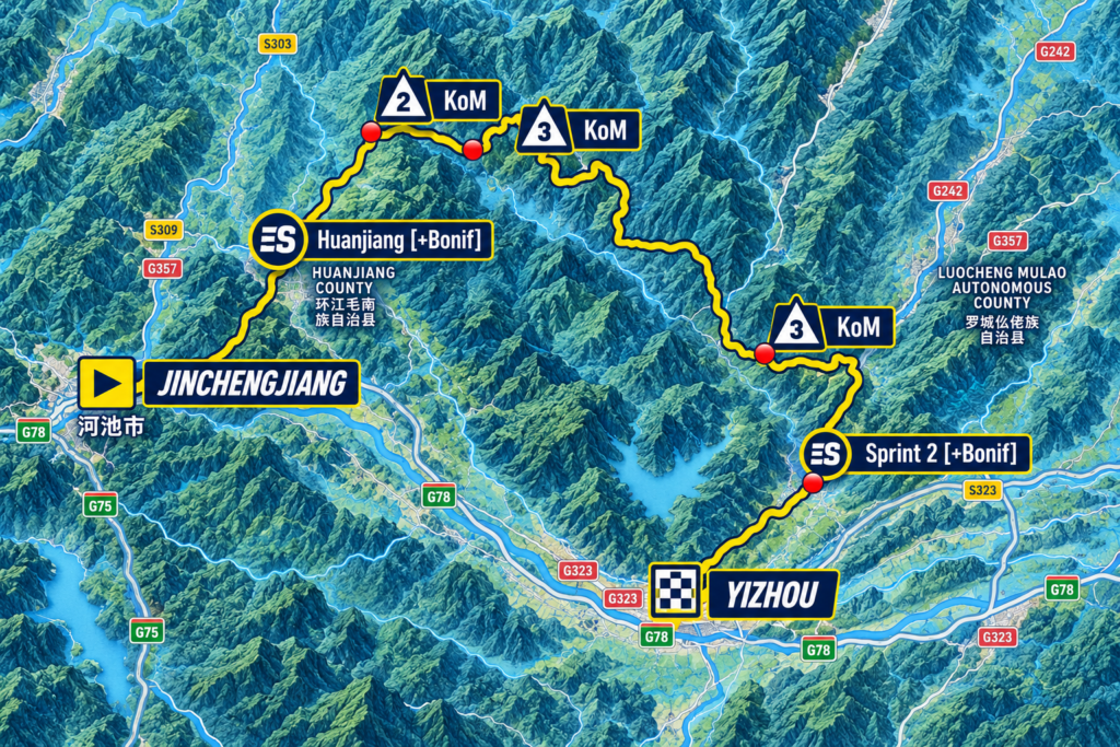
The profile reflects that transition. The first half contains the most substantial climbing, including a Category 2 ascent reaching 540 metres and another classified ridge soon afterwards. Beyond the midpoint the mountains become progressively less severe, with only one final Category 3 ascent before the route descends towards Yizhou at 144 metres above sea level. The stage therefore begins by crossing the barriers that have fragmented the human geography of northern Guangxi and gradually enters the broader corridors that connected communities across them.
Those communities are unusually diverse. The route passes through a part of Guangxi where Zhuang, Maonan, Mulao, Yao and Han populations have lived within relatively short distances of one another, sometimes separated by ridges that made neighbouring valleys considerably more distant in practice than they appeared on a map. Rivers, roads and market centres worked in the opposite direction, bringing people back into contact. By the time the peloton reaches Yizhou, that relationship between separation and communication becomes the key to one of Guangxi’s most enduring cultural traditions: the world of antiphonal song and Liu Sanjie, the legendary singer whose stories have travelled through the region for centuries.
The mountains remain visible throughout the day, but Stage 5 gradually changes the question. After four days of following the ways water has carved, connected and transformed Guangxi, the road towards Yizhou turns towards the people who moved through those same corridors, and towards the stories and songs that travelled with them.
–170.1 km | Jinchengjiang · Where the Corridors Meet
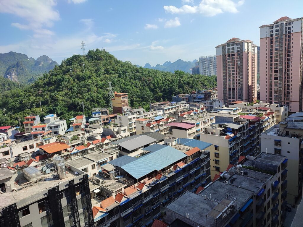
The race begins at approximately 185 metres in Jinchengjiang, the principal urban district of Hechi. After the smaller county centres and remote mountain landscapes encountered during the previous stages, the setting is noticeably more urban, although the city has not escaped the geography surrounding it. Mountains rise beyond the built-up valleys, while transport routes follow the limited openings through a region where travelling in a straight line has rarely been the easiest way to reach anywhere.
That position helped Jinchengjiang develop as Hechi’s administrative and transport centre. Roads and railways converge here before continuing through northwestern Guangxi and towards neighbouring Guizhou, following corridors that modern engineering has widened but did not create. The valleys had already channelled movement for generations, concentrating settlements and trade wherever the surrounding relief permitted easier passage.
The Longjiang belongs to the same geographical logic. Flowing through the wider Hechi region, it forms part of the Xijiang and ultimately the Pearl River drainage system, connecting this stage hydrologically with the wider river world explored throughout the Tour. The streams encountered around Bama and Fengshan, the Youjiang crossed on Stage 3 and the Hongshui reached around Tian’e occupy different branches of an enormous network that eventually gathers the waters of much of Guangxi into the Pearl River system.
Stage 5 follows another part of that network, but its importance today lies increasingly in what happened alongside the water rather than beneath or behind it. River valleys offered cultivable land, sites for settlement and passages through the mountains, allowing communities divided by the terrain to remain connected to wider regional worlds.
The opening kilometres towards Dongjiang remain relatively gentle. At kilometre eight the race is still around 195 metres above sea level, moving through inhabited country where roads and valleys create a comparatively open beginning. Farther ahead, towards Huanjiang, the mountains begin to close those corridors again.
–143.6 km | Huanjiang · Communities Between the Ridges
The first intermediate sprint comes after 26.5 kilometres around Huanjiang, with the road still little more than 200 metres above sea level. The county lies north of the direct line towards Yizhou, so the route initially carries the peloton deeper into the mountain interior before eventually turning southeast towards the finish.
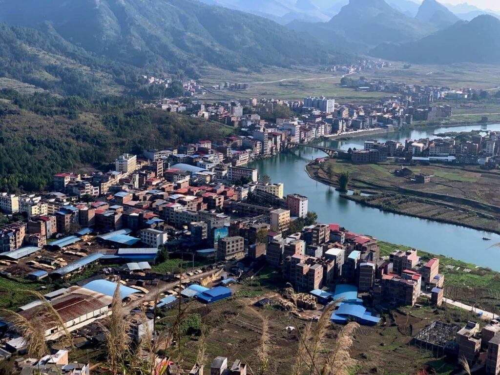
Huanjiang is officially designated as a Maonan autonomous county and contains the principal concentration of the Maonan people, one of China’s smaller officially recognised ethnic groups. Their communities developed within the same difficult geography now crossed by the race, where cultivable land appears in valleys and basins between limestone hills and where relatively short journeys could require crossing substantial natural barriers.
Yet those barriers never produced complete isolation. Maonan communities interacted over long periods with neighbouring Zhuang, Yao and Han populations through markets, marriage, agriculture and everyday movement between settlements. Language and custom could remain locally distinctive while goods, techniques and stories continued to circulate through the valleys. The cultural map of northern Guangxi consequently became intricate rather than neatly divided, with communities maintaining identities of their own while participating in a much larger regional exchange.
This distinction matters because administrative boundaries can make ethnic geography appear simpler than it was. A labelled autonomous county is not a sealed cultural territory, just as a mountain ridge is not an impermeable wall. The landscape encouraged local difference, but the corridors between the mountains continually brought people back into contact.
Beyond Huanjiang, the road begins to demonstrate the physical basis of that pattern. The relatively gentle opening ends as the peloton turns towards the first substantial ridge of the day, leaving the lower corridor and climbing towards the highest point of Stage 5.
–121.1 km | Across the First Barrier
At kilometre 49 the Category 2 ascent reaches approximately 540 metres after 6.6 kilometres at an average of 4.9 percent. It is the highest point of the stage, although its importance to the journey is greater than the numbers alone suggest. Until now the race has largely moved along lower corridors; here it must cross one of the ridges separating them.
By the fifth day of the Tour, the visual grammar of this landscape is familiar. Forested slopes rise abruptly from cultivated pockets, villages occupy whatever flatter ground can be found and roads search for weaknesses through the relief. There is little value in explaining the formation of the limestone again. More revealing is what the terrain meant for movement. A community in the next valley might be geographically close yet reached only by climbing away from one river corridor, crossing high ground and descending into another.
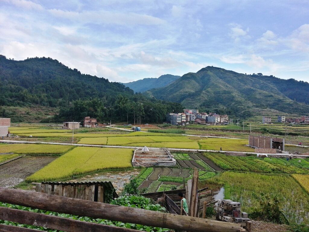
The road itself performs that journey. From the 540-metre summit it loses more than three hundred metres in little more than thirteen kilometres, reaching Xiaqiang at approximately 194 metres. The rapid change in elevation compresses into a few minutes of racing a geographical obstacle that once shaped the rhythm of travel, commerce and communication between settlements.
Modern roads have dramatically reduced those distances in time without eliminating the mountains that created them. The descent reaches the valley quickly, but almost as soon as the road levels the next ridge begins to rise ahead.
–97.1 km | From One Valley to Another
The second classified ascent reaches its summit at kilometre 73 after 7.3 kilometres averaging 3.8 percent, carrying the race back to approximately 491 metres. Coming so soon after the first mountain crossing, the two climbs form a single passage through the high ground, repeatedly separating and reconnecting the lower valleys on either side.
From the summit the route begins a more complicated descent towards the eastern side of the mountain block. Instead of falling continuously into one basin, it rolls across successive ridges before eventually dropping below 200 metres. The landscape opens gradually, and longer views across the interior replace some of the enclosure that characterised the road around Fengshan and Tian’e.
To the east lies the wider territory associated with Luocheng Mulao Autonomous County, another reminder of the cultural complexity concentrated around Hechi. The race map does not justify treating Luocheng itself as a place directly visited by the peloton, but its proximity matters. Within a relatively compact part of northern Guangxi, counties associated with Maonan and Mulao populations sit alongside communities with substantial Zhuang, Yao and Han populations, creating a mosaic whose boundaries have always been more permeable in daily life than administrative maps suggest.
The mountains help explain why distinctive languages and traditions could persist within that mosaic. The valleys explain why they never developed in complete isolation. People still needed places to exchange produce, find partners, attend markets, visit relatives and communicate with communities beyond their own. Geography produced both separation and connection, often within the same day’s journey.
As the road descends, the balance begins to shift towards connection.
–50.1 km | The Last Ridge before the Longjiang
The third and final classified climb is short, 2.4 kilometres at 5.4 percent, reaching approximately 368 metres with fifty kilometres remaining. Nothing of comparable elevation stands between the riders and Yizhou.
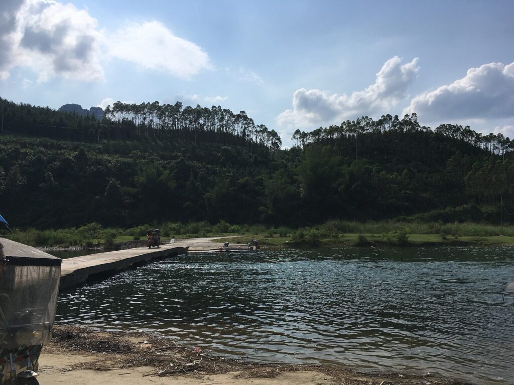
Beyond the summit, the road increasingly enters the wider landscape of the Longjiang. The river belongs to the same enormous Pearl River drainage system encountered repeatedly during the Tour, but here the relationship between water and human geography becomes especially clear. Around Yizhou, the Longjiang winds through limestone country without being completely imprisoned by it, creating broader areas in which agriculture, settlements and routes of communication could develop.
This is where the water narrative of the previous stages begins to acquire another dimension. Around Fengshan, water disappeared underground and connected places invisibly through limestone. Around Tian’e, the Hongshui was captured and transformed by modern engineering. Along the Longjiang, water has also served as a corridor around which communities could meet, settle and move through a landscape otherwise divided by mountains.
Yizhou grew within that more connected environment. Its surrounding countryside remains unmistakably karst, but the relationship between mountain and valley is different from the enclosed high country crossed earlier in the week. The river does not merely drain the landscape. Together with the lower corridors around it, it helps organise human movement through that landscape.
As the peloton descends from the final ridge, the stage begins moving towards a cultural tradition built upon precisely that movement between communities.
–26.1 km | Towards Yizhou · A Landscape of Exchange
The second intermediate sprint comes at kilometre 144, with the road at approximately 229 metres. From here the remaining journey trends gradually downward, passing through increasingly open country before reaching Zhongjian at kilometre 159.5, only a little above 130 metres.
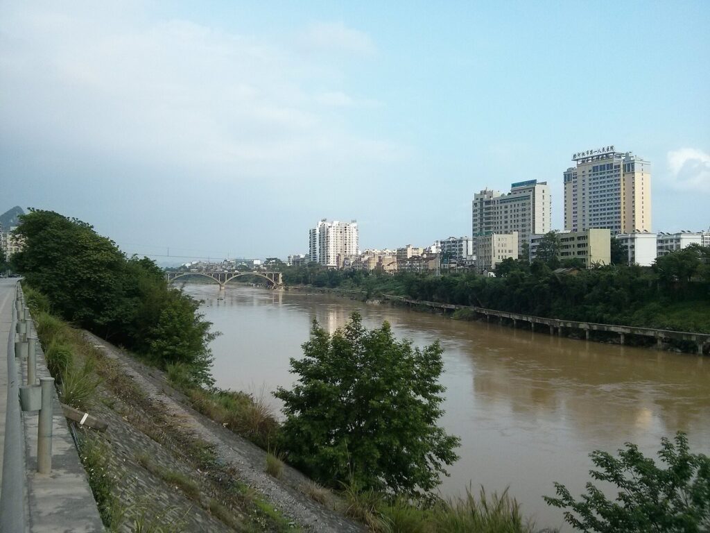
The change is subtle but persistent. After several days in which the route repeatedly disappeared into enclosed mountain basins, the horizon extends farther between the limestone hills. Fields occupy broader areas, settlements appear more frequently and the road no longer seems required to negotiate a major geographical obstacle every few kilometres.
The importance of such corridors extends beyond transport. Where communities met regularly, culture could travel with them. Songs, stories, courtship traditions and oral histories did not need political or ethnic boundaries to disappear before crossing them; they moved through markets, festivals, marriages and gatherings, changing as they entered new communities while retaining enough of their earlier form to remain recognisable.
Northern and central Guangxi developed particularly rich traditions of sung exchange. Among the Zhuang, antiphonal singing could turn a gathering into a dialogue conducted through improvised verse, with singers answering one another across a field, riverbank or festival space. Courtship could be part of it, but so could riddles, humour, competition and social commentary. Success required more than a strong voice. A singer needed memory, imagination and the ability to produce an intelligent response quickly enough to continue the exchange.
By the time the road reaches the outskirts of Yizhou, one figure has come to embody that tradition more powerfully than any other.
Her name is Liu Sanjie.
Yizhou · The Landscape of Liu Sanjie
Liu Sanjie is commonly rendered in English as “Third Sister Liu,” and attempts to turn her into a conventional historical figure immediately encounter difficulties. Different traditions place her in different periods and locations, while episodes attributed to her vary considerably between communities. There is no securely documented biography capable of resolving those versions into the life of a single identifiable woman.
What can be traced with much greater confidence is the tradition surrounding her. Written references to stories of Liu Sanjie extend back many centuries, while oral transmission continued to expand and transform them. Communities attached episodes to familiar landscapes, performers adapted verses and successive generations reshaped the singer according to their own circumstances. Yizhou became one of the places most closely associated with her, an association strong enough that the surrounding administrative geography today includes a Liusanjie Township bearing her name.
The character who emerges from those stories possesses an extraordinary ability to improvise song. She answers challenges through verse, defeats rivals with wit and repeatedly overcomes people who possess greater wealth, formal education or social authority. The details change from one telling to another, but the underlying source of her power remains remarkably consistent: she can listen, understand and answer.
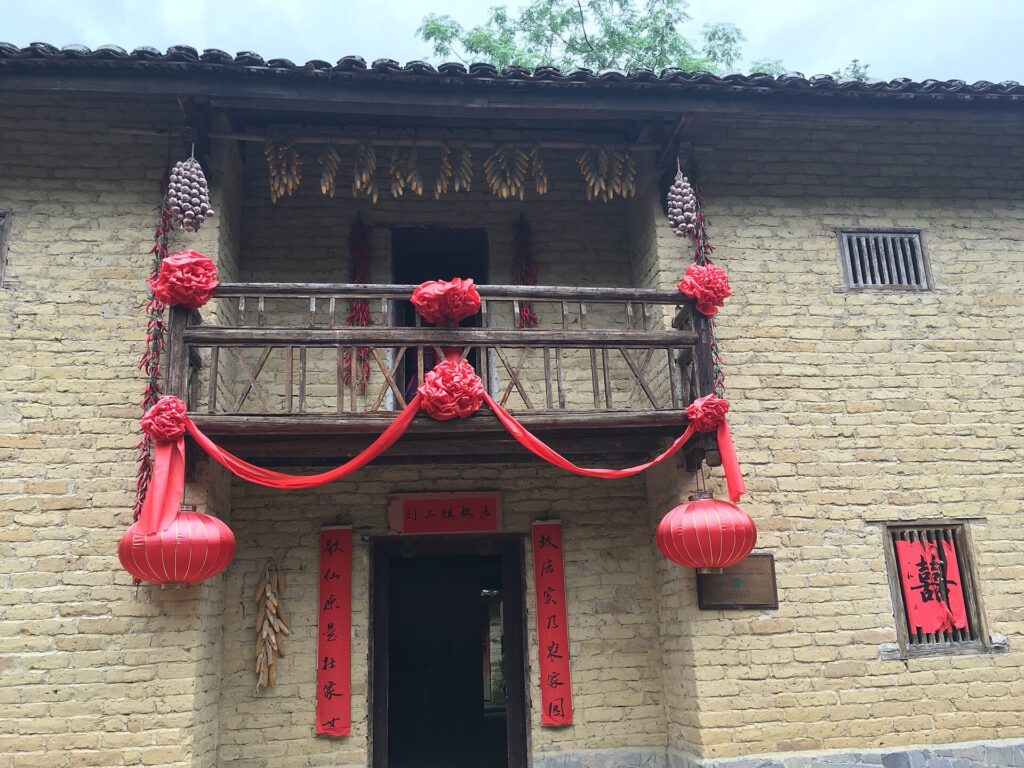
That quality makes sense within Guangxi’s traditions of antiphonal singing. Songs exchanged between individuals or groups could function as conversations in which each verse demanded a response. Courtship, humour, riddles and competition might all enter the performance, and the ability to improvise intelligently mattered alongside musical ability. A successful singer needed to understand not only melody but language, metaphor, local knowledge and the person singing from the other side.
In the stories of Liu Sanjie, those abilities become almost limitless. Her voice allows someone without conventional authority to control the terms of an encounter, which helps explain why later generations could interpret her in different ways. She could become a folk singer, an emblem of Zhuang identity, a defender of ordinary people or simply the ideal expression of a culture in which knowledge could be performed rather than written.
Her flexibility also helped the tradition survive. Because there was no single fixed text governing Liu Sanjie’s life, stories could migrate. A village could attach a familiar episode to its own landscape; a singer could alter verses for a new audience; another generation could preserve the central character while changing the circumstances surrounding her. Historical uncertainty, in this case, became part of the mechanism through which cultural memory remained alive.
During the twentieth century the scale of that memory changed dramatically. Stage and screen adaptations carried Liu Sanjie far beyond the communities in which her stories had circulated, particularly after the enormously popular 1960 musical film Liu Sanjie. Its combination of song, romantic narrative and Guangxi scenery helped turn a regional folk figure into an icon recognised across China and elsewhere in East Asia, while images of rivers, limestone peaks and singers answering one another across the landscape became part of the way Guangxi itself was imagined.
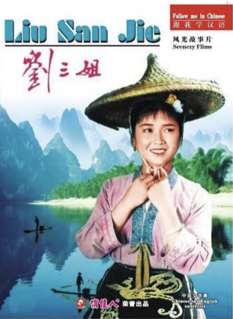
National fame inevitably simplified something that had once existed in many local versions. Tourism carried the process further, connecting Liu Sanjie with performances, attractions and landscapes across Guangxi. The legendary singer consequently occupies two worlds at once: she belongs to traditions transmitted locally through generations, but she has also become part of the modern cultural image through which the region presents itself to outsiders.
Yizhou’s relationship with her is particularly revealing because the association has entered the geography itself. Place names, local traditions and the surrounding river landscape have become intertwined with the legend, making it difficult to separate the remembered singer from the country in which she is remembered. Asking whether every episode attributed to Liu Sanjie literally occurred here is therefore less illuminating than asking why communities continued to locate her within landscapes they knew.
The answer lies partly in the nature of oral tradition itself. A story remains alive not because it is protected from change, but because people continue to find reasons to repeat it.
–10.6 km | Zhongjian · Into the Yizhou Basin
At Zhongjian, kilometre 159.5, the race has descended to approximately 136 metres. Only a little more than ten kilometres remain, and the mountains that dictated so much of the day’s route now stand around the road rather than directly across it.
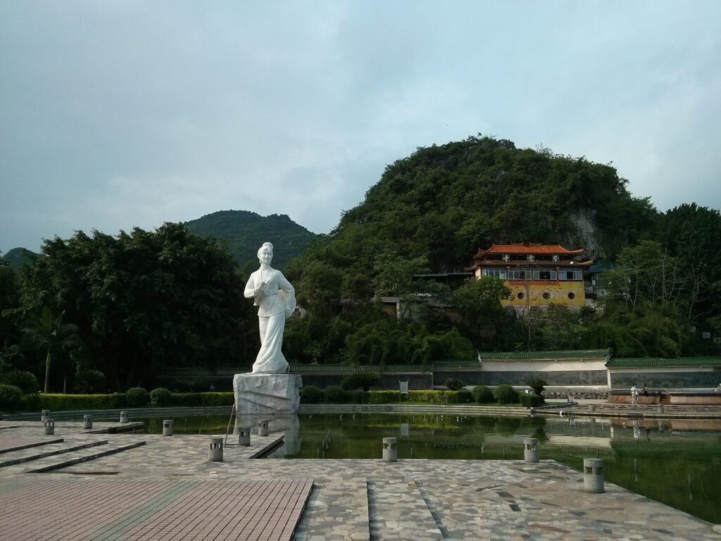
The contrast with the morning is considerable. Since leaving Jinchengjiang, the peloton has travelled from one inhabited corridor into another, crossing the ridges that separate them and descending eventually towards the broader country of the Longjiang. The profile records that journey as elevation gained and lost; the human landscape reveals another interpretation, in which the same barriers that encouraged local distinctions were repeatedly crossed by people carrying goods, languages, family connections and traditions between valleys.
The last kilometres continue through the Longjiang landscape towards Yizhou. Limestone hills remain on the horizon, ensuring that the finish belongs unmistakably to the geography through which the Tour has travelled all week, but the road now occupies a more open and connected setting. Settlements become more frequent, cultivated land spreads more broadly between the hills and the race approaches a city whose cultural identity grew within those networks of communication.
The stage has spent the afternoon moving towards Liu Sanjie in much the same way her stories once moved through Guangxi: from one community to another, following the passages available between the mountains.
FINISH · Yizhou
The finish in Yizhou lies approximately 144 metres above sea level, almost four hundred metres below the highest point crossed during the stage. Yet the more revealing transition cannot be measured in elevation. Stage 5 began where mountain corridors converge around Jinchengjiang, crossed the culturally intricate country around Huanjiang and then gradually returned to the lower valleys of the Longjiang, where geography allowed communities separated by uplands to remain connected to a wider regional world.
For centuries, stories travelled through these valleys without needing to remain fixed in one form. They moved between villages, crossed linguistic and cultural boundaries, changed with the people who repeated them and attached themselves to rivers, mountains and particular places. Liu Sanjie became enduring precisely through that process. The uncertainty surrounding the details of her life is not an absence at the centre of the tradition, but part of the reason the tradition could continue to belong to successive generations.
The Tour reaches Yizhou by following many of the same geographical openings through which people have always moved across this difficult country. Water found passages between the mountains first; roads, settlements and markets followed the valleys, while stories and songs travelled with the people using them. After five stages in which Guangxi has been encountered through painted cliffs, great rivers, underground caves, high ridges and reservoirs, Yizhou adds something that cannot be mapped as easily. The landscape shaped the routes along which the story travelled, but human voices are what allowed it to survive.



